
Brooklyn Park Previous Residents by Era
Brooklyn Park previous residents are best traced with a source matched to the period. A current Hennepin parcel record establishes the address and legal description. Recorded documents connect owners and transfers. Directories and census records help distinguish an owner from people who actually occupied the address. Permit and map material can date a building or an alteration, while obituary and probate records can explain a household change. The address should remain only one part of the comparison because postal labels, municipal boundaries, and house numbers can shift.
| Trail source | Usable period | Where held | What it can show |
|---|---|---|---|
| Hennepin PINS property record | Current record | Hennepin online property search | Parcel, owner or taxpayer label, situs, mailing address, legal description, sale and tax fields |
| RecordEASE recording history | About the latest five years online | Recorder/Registrar public index | Recent instruments and parties, not a complete title chain |
| Recorder deed and tract records | Historical series, online cutoff not stated | Research Center, county records, archive request | Grantor, grantee, instrument trail, legal-description continuity |
| Directory and reverse-directory material | Area collection 1859-1983 | HCLIB and Minnesota Historical Society | Address-to-occupant clues; exact Brooklyn Park run is not verified |
| Federal and Minnesota census | Federal census public through 1950 | National Archives, HCLIB and MNHS resources | Household context on an enumeration date |
| Brooklyn Park permits and maps | Range varies by record | City eSuite, permit office, HCLIB map resources | Building work, inspections, footprint and street context |
Start with PINS if the Brooklyn Park address is current. Start with a directory or census if the only lead is a former Brooklyn Park household name. The county cautions that the online recent-history layer is incomplete, so an unreturned document is a reason to use the county fallback rather than proof that a transfer never happened.
Brooklyn Park Past Household Parcels
The Hennepin County Property Information Search is the first practical record for a Brooklyn Park address. It accepts an address, a 13-digit PID, or an addition with lot and block. Address searching requires a house number and street name. The county advises using at least three street characters and placing a direction at the end. Copy the PID, parcel address, owner or taxpayer label, taxpayer mailing address, addition, lot and block, legal description, sale fields, and build year before moving to older material.
| Situs address | The physical parcel address used for street, map, PID, and permit work. |
|---|---|
| Mailing address | The place where county notices are sent. It may differ from the parcel and does not prove occupancy. |
| PID | The county parcel identifier, useful for connecting the map and property record. |
| Legal description | The lot, block, addition, metes-and-bounds, or other formal land description that carries through older deeds. |
Those labels matter. A named taxpayer can be an owner who receives mail elsewhere, and a homestead classification is not a list of every person at the address. Keeping the fields separate avoids turning a tax record into an unsupported claim about past residents.
Note: Preserve the exact address spelling, direction, unit, PID, and legal description before comparing any older Brooklyn Park record.
Brooklyn Park Past Deed Index
Use the Hennepin RecordEASE Public Search after saving the parcel facts. The Recorder/Registrar of Titles holds deeds, mortgages, assignments, liens, releases, satisfactions, plats, and related instruments. The free public index is a starting point. RecordEASE Pro provides document images, certificates, and plats for $2.50 per item, while the county describes the public online recording history as roughly the most recent five years. The county did not publish an earliest online index year on the reviewed landing page.
A Brooklyn Park result should be read as an index entry, not as a complete narrative. Record the grantor, grantee, instrument number, recording date and time, type of instrument, and legal-description reference. Minnesota's reception-index rules in chapter 386 explain why those fields are useful for connecting a transfer to the same land.
Trace Brooklyn Park Previous Residents Through Deeds
A deed chain follows the land backward. Begin with the current owner or taxpayer information from PINS, then locate the most recent conveyance with the current grantee name and legal description. The seller on that deed becomes the next prior grantee to search. Repeat the comparison one transfer at a time. Street numbers can change and one person can hold several parcels, which is why the legal description carries more weight than a street address alone.
- Save the PINS result and transcribe the PID, situs, addition, lot and block, legal description, current party label, and sale fields.
- Search the current grantee and legal description in RecordEASE for the purchase deed or latest conveyance.
- Copy the grantor, grantee, recording date, instrument number, document type, and matching land description.
- Search that grantor as a prior grantee, then compare the legal description before accepting the earlier transfer as the same property.
- When the web trail ends, take the names, land description, and approximate year to the Research Center or make a county copy request.
- Grantor
- The party transferring an interest in a recorded instrument.
- Grantee
- The party receiving that interest. In a purchase deed, the prior seller is often the next person to search as a grantee.
- Chain of title
- The sequence of conveyances affecting the same parcel, checked through names, dates, and the legal description.
- Legal description
- The formal land identifier in a deed or parcel record. It is more dependable than a modern street number for historical tracing.
Brooklyn Park Deed Research Beyond the Web
When a promising Brooklyn Park previous-resident trail reaches the web limit, use the county's documented physical and request channels. The Hennepin Research Center has public self-service document research and kiosks at 300 S 6th St, Skyway level, room SK-0353, Minneapolis, Monday through Friday from 8:00 a.m. to 4:30 p.m. Staff support is listed at 612-348-5139 and recordsrequest@hennepin.us. Bring the legal description, lot and block, names, and an approximate year, not just a street number.
The county also provides mail and email copy routes. Noncertified mail copies are listed at $1 per page; certified document or title products are listed at $10, and plats have separate charges. An owner may request a free electronic deed or title by email. These alternatives are useful when a full image or older document does not appear in the public index.
Search the Minnesota Historical Society Hennepin finding aids when the deed record raises a court, naturalization, marriage, birth, or death question that needs an archive series rather than a parcel search.
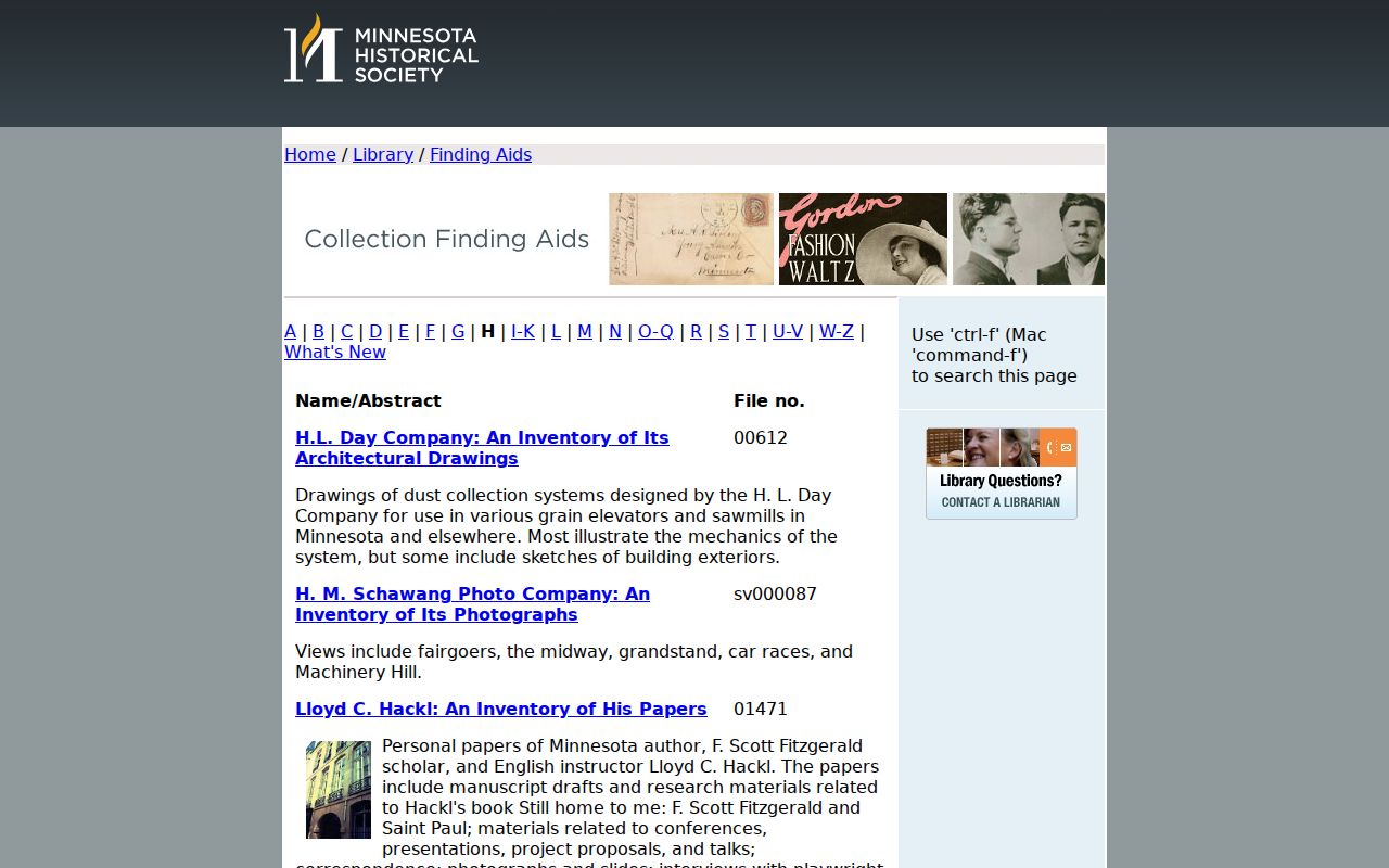
The finding-aid route is useful for identifying whether an older Hennepin series exists before arranging an archive request.
For material stored away from the public shelves, Minnesota State Archives off-site collections describes a Tuesday retrieval process and a maximum of six boxes. That route can hold historical court, naturalization, institutional, railroad, and related records.
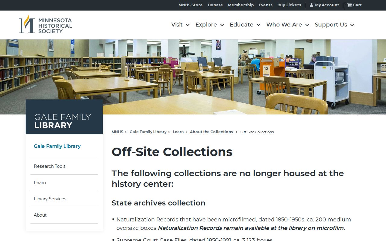
Off-site records are supporting evidence, not a replacement for verifying the parcel and deed chain.
Brooklyn Park Previous Residents in Household Records
Deeds identify parties to a transfer, but they do not necessarily identify everyone who lived there. For household history, use an address in a reverse or criss-cross directory, copy the names exactly, and check the years immediately before and after. Hennepin Library's guide reports digitally keyword-searchable directories for 1859-1922, later print or microfiche material from 1922 forward, and PDF runs for 1923-1929. The broader HCLIB and MNHS collection description reaches 1859-1983, although the exact Brooklyn Park run was not verified.
Pair a directory snapshot with the closest available census. Federal census records are publicly available through 1950 under the 72-year rule, and Minnesota state census years include 1849, 1865, 1875, 1885, 1895, and 1905. Compare names, age or family context, street form, and municipal label. The historical volumes themselves are described on the Brooklyn Park city directory page.
- Look up the address in a reverse directory and preserve initials, abbreviations, occupancy marks, and spelling variants.
- Check the same address in the preceding and following directory years.
- Search the resulting name in the regular directory index and compare it with the nearest census schedule.
- Use marriage, death, newspaper, deed, permit, and probate material only after an address or date cross-check supports the match.
Brooklyn Park Previous Residents at Trail Endpoints
An obituary or probate file can help close a Brooklyn Park previous-resident trail after the address and dates are already supported. The Minnesota Historical Society obituary request service accepts one individual's name, date, county or city, and extra information. Staff search up to two newspapers and up to seven daily or four weekly issues. The published service is $10 with a retained $5 processing fee, usually takes three to four weeks, and can take up to 12 weeks. Obituaries are not comprehensively indexed, so the service is a request channel, not a guarantee.
Use HCLIB newspaper holdings, the Minnesota Digital Newspaper Hub, interlibrary loan, and local newspaper archives as separate search routes. The research did not identify an official Brooklyn Park municipal cemetery database. Eidem Farm history identifies Mound Cemetery in Brooklyn Center as a family endpoint, but every cemetery or church record still needs a record-by-record check. For a deceased owner, Minnesota Court Records Online, Hennepin Records Center computers, and a court copy request are the documented probate routes. Compare an address and date before connecting any same-name person or heir to a Brooklyn Park parcel.
Brooklyn Park Previous Residents and Building Clocks
Building evidence can narrow a date without proving residency. The Brooklyn Park eSuite permit history searches by permit type, permit number, or service address. Its service-address field uses autocomplete and asks the user to select a complete address. Permit material can indicate construction, additions, roofing, siding, windows, mechanical work, demolition, moving, fire or hood work, and inspections. It does not establish that an applicant, contractor, or owner lived at the address.
Sanborn maps are another Brooklyn Park structure-history tool. HCLIB describes Minnesota map holdings from 1867-1970, while the documented Library of Congress sample covers Minneapolis from 1912 through July 1951. No Brooklyn Park-specific Sanborn sheet or year run was verified, so use maps as a possible Hennepin fallback and request older city permit cards if the online permit history does not reach the period needed.
Note: A permit or map can date work or a footprint, but an occupant still needs independent directory, census, or record evidence.
Eidem Farm and Brooklyn Park Previous Residents
Eidem Farm's city-published history is a local model for a carefully documented backward trail. The United States deeded 40 acres to John D. and Mary Berry in 1856. The Berrys conveyed it to Silas Merrill in 1857, and Merrill's house existed by 1879. Merrill sold 39 acres to Bragdon in 1890. John J. Eidem Jr. and Electa purchased the farm in May 1894 for about $80 per acre, and the Eidem family held it for 82 years.
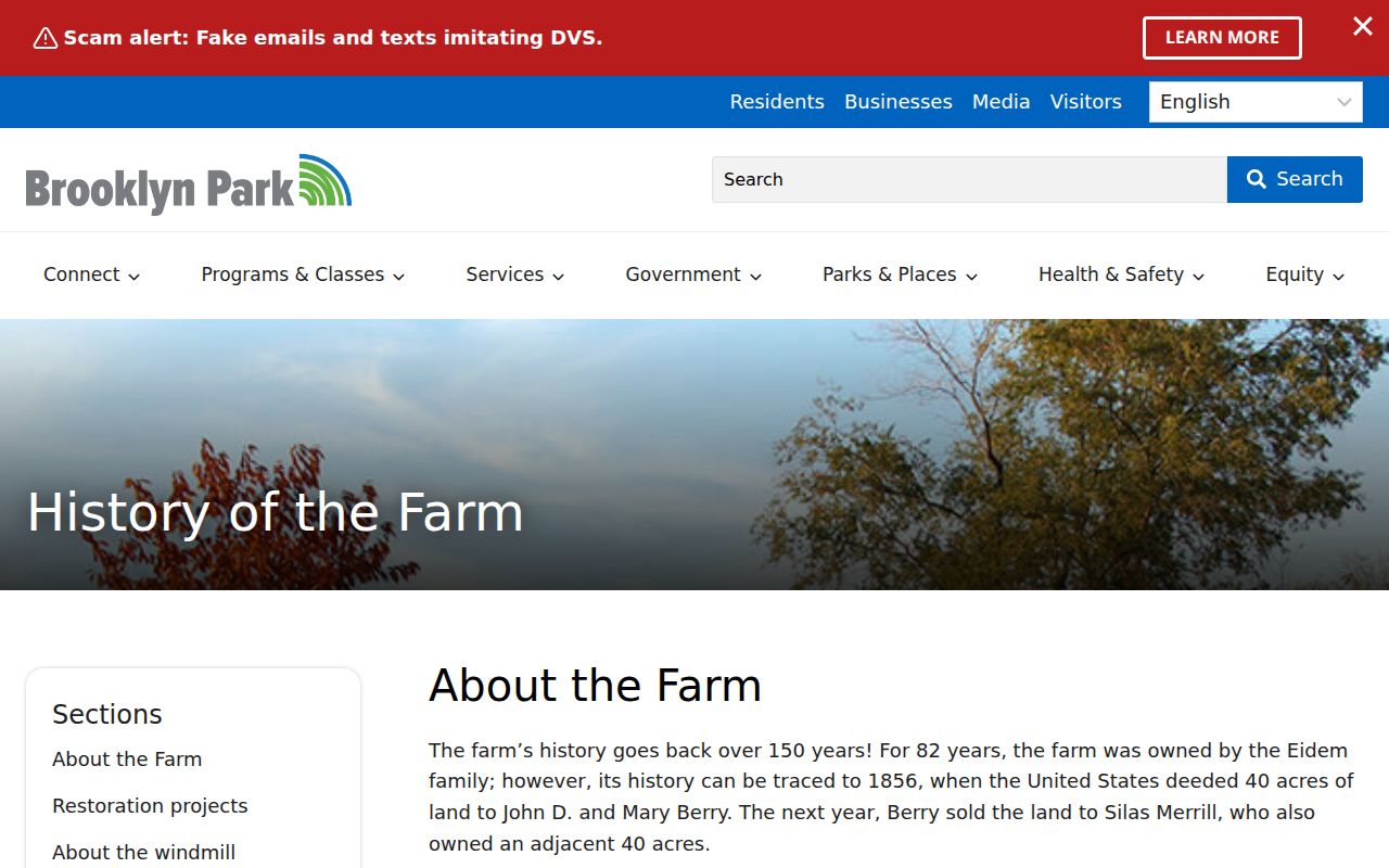
The story continues with rental after 1956 and the city's July 1976 purchase of ten acres for $40,000 through a HUD grant. It shows the value of following named parties and the legal land trail first, then pairing it with census, family-name, cemetery, and preservation evidence. It is a documented example, not a pattern to assume for every Brooklyn Park parcel.
Brooklyn Park Previous Residents and Place Names
Older records may not use the current city name. Hennepin County was established in 1852, Brooklyn Township formed that year, and two tiers detached in 1860 to form Brooklyn Center and Crystal Lake. Brooklyn Park became a village in 1954, adopted a council-manager form in 1966, and became a charter city in 1969. Historical records can therefore carry township, village, postal, or nearby-city labels even when the property is associated with Brooklyn Park today.
Check the Brooklyn Park and Osseo boundary-adjustment docket when a municipal boundary question affects an older address or location label.
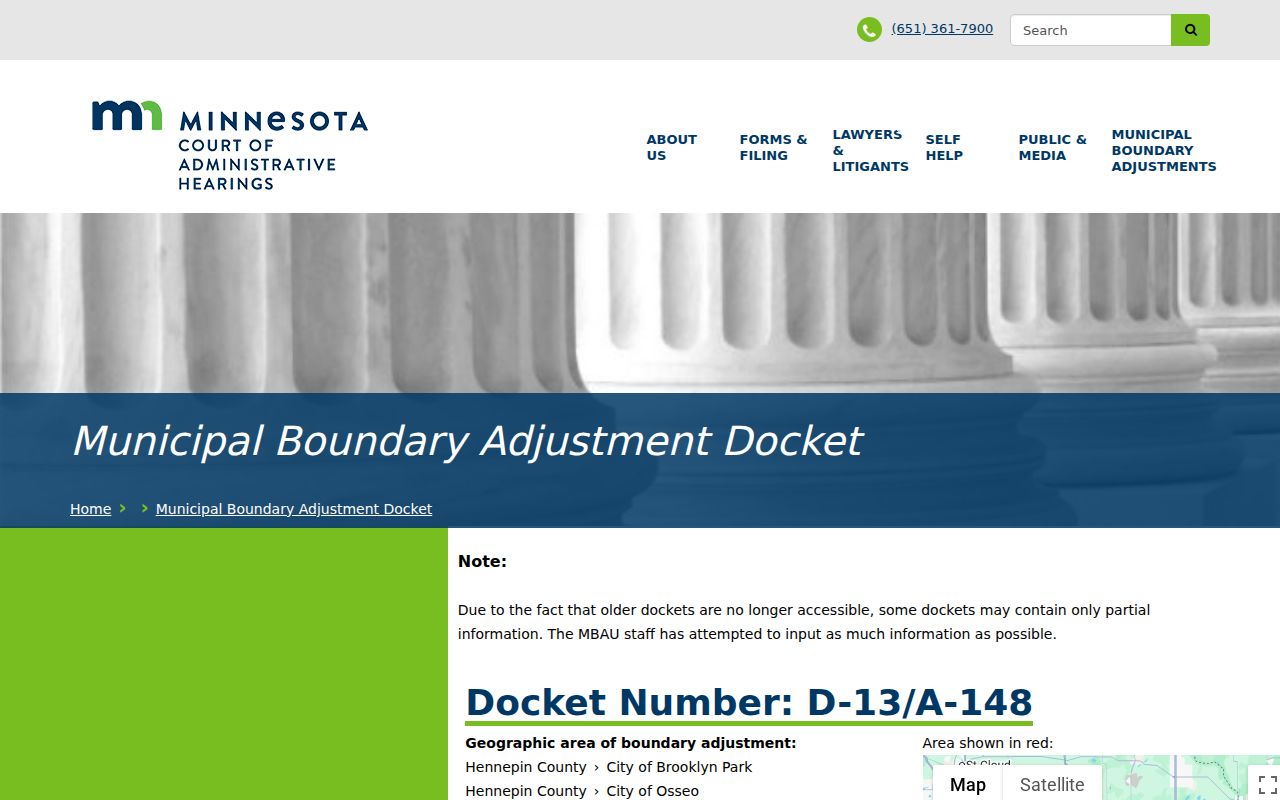
Place-name differences are a prompt to compare a PID, legal description, plat, and nearby street references. They are not proof that two similar addresses refer to the same past household.