
Brooklyn Park ZIP Coverage
Minnesota's official county-and-ZIP list identifies five ZIP codes for Brooklyn Park: 55428, 55429, 55443, 55444, and 55445. The city polling-place material provides local examples of where those codes appear, but postal delivery areas cross municipal lines. Use the table as a coverage guide, then confirm a specific mailing address through USPS and a specific parcel through PINS or the county map.
| ZIP | Brooklyn Park area examples | Post office or postal note | Verification note |
|---|---|---|---|
| 55428 | South and west examples in the West District | Brooklyn Park-area retail service; postal city labels can vary | Also reaches nearby municipal boundaries. |
| 55429 | South, west, and West District examples | USPS delivery geography; station assignment varies by address | Do not infer every 55429 address is in Brooklyn Park. |
| 55443 | Central, north, and east examples, including City Hall-area postal use | Brooklyn Park Post Office uses a Minneapolis postal-city label | Municipal and postal labels can differ. |
| 55444 | East and southeast polling-place examples | USPS service assignment depends on address | Check the parcel and precinct separately. |
| 55445 | West and north examples in the West District | USPS delivery geography; exact station not stated in the inspected city source | Never use the ZIP as a city-limit line. |
Each row represents a postal pairing, not an exclusive city territory. The correct address may have a Brooklyn Park municipal jurisdiction, a Minneapolis postal-city label, a different school district, and a precinct boundary that does not follow the ZIP.
Brooklyn Park ZIP Areas
The city polling-place data places 55443 in central precinct examples, 55444 in east examples, 55428 and 55429 in west examples, and 55445 in west examples. These are helpful local reference points, not full delivery maps. A ZIP code reaches beyond municipal boundaries, so an address on the same postal route may fall in a neighboring city while an address inside Brooklyn Park can use a postal label that surprises a local reader.
Brooklyn Park sits in northwest Hennepin County on the west bank of the Mississippi. It is about 27 square miles, which helps explain why postal, parcel, precinct, school, watershed, and neighborhood layers do not line up as a single map. A postal directory is most accurate when it preserves those separate geographies.
Note: City polling-place ZIP examples help describe local geography, but a USPS result and parcel record are the proper checks for a specific address.
Brooklyn Park ZIP Numbers
Postal geography serves a large city rather than a single compact delivery district. Census QuickFacts reports 86,478 Brooklyn Park residents in the 2020 census and an 82,893 estimate for 2024. Those are different dates and methods, so they should not be treated as one current count. They do help explain why a five-ZIP reference needs address-level verification instead of broad assumptions about a code's municipal reach.
City public-facing pages use other approximate population phrasing in different settings. Preserve the Census date and method when a figure is quoted, and use USPS or PINS when the task is locating a particular delivery or parcel rather than describing the city as a whole.
Brooklyn Park USPS ZIP Checks
USPS ZIP Lookup is the current postal-verification layer for a Brooklyn Park mailing address. It accepts a corporate or residential street address, city, and state, then returns a ZIP when USPS can verify the submission. It does not identify parcel ownership, municipal limits, historical ZIP coverage, or residents. Use the result as a delivery assignment, then move to county and city records for their distinct questions.
| USPS field | Required | How to use it |
|---|---|---|
| Corporate or residential street address | Yes for the address route | Enter the exact address to verify postal delivery. |
| City | Yes | Use the postal or locality city attached to the address. |
| State | Yes | Select or enter the state. |
| Find | Action | Returns the ZIP when the address can be verified. |
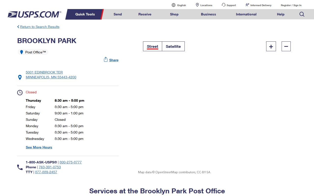
The Brooklyn Park-area USPS location listing is the source for the postal-service image below.
The address tool settles a current mailing question. It cannot fill a historical ZIP gap, make a delivery geography into a municipal boundary, or provide a ZIP-wide people list.
Brooklyn Park Postal City Mismatch
The Brooklyn Park Post Office listing gives 5001 Edinbrook Terrace, Minneapolis MN 55443-4200 as its postal address. It lists phone 763-391-0753 and retail hours of Monday through Friday, 8:30 a.m. to 5:00 p.m.; Saturday, 9:00 a.m. to 1:00 p.m.; and Sunday closed. The Minneapolis label is a postal convention visible in an official listing, not a change in the city's municipal government, Hennepin County jurisdiction, or school district.
This local mismatch is why a ZIP code directory should record both the delivery result and the parcel's situs. If a record search requires city jurisdiction, use PINS or the GIS map. If it requires delivery formatting, use USPS. Neither source replaces the other.
Brooklyn Park ZIP Search Path
A postal code narrows a mailing question, but the major local research tools do not create a citywide ZIP roster. PINS accepts address, PID, and addition with lot and block, not a ZIP field. The GIS viewer is spatial rather than ZIP-filtered. Permit and code-case searches use a service or property address. Minnesota's voter lookup accepts ZIP as part of a known person's address route, but it does not return all registrations in a ZIP.
- Verify the full delivery address with USPS, including the locality USPS recognizes for that address.
- Search the address in PINS and save the PID, situs, legal description, and owner or taxpayer labels.
- Open the county property map to compare the parcel with roads and surrounding geography.
- Use the exact address in a city permit, code-case, or neighborhood tool when that is the record needed.
- Use the voter lookup only to confirm a known registration with its required name, birth date, and address information.
Once the search turns into a question about adjacent addresses or a full road segment, use the Brooklyn Park street directory for the address-by-address method rather than trying to force a ZIP filter into PINS.
Brooklyn Park ZIP Voter Limits
Minnesota's voter lookup requires first and last name, full date of birth, and an address route using ZIP or county, followed by city or township, house number, selected street, and a unit when applicable. It is a confirmation tool for a known person. Its result can verify registration status and direct the voter to information, but it is not a public postal roster.
Under Minn. Stat. §201.091, a registered Minnesota voter can request defined public voter information by providing identification and written certification of permitted use. The law prohibits putting that list on the internet as a searchable database and restricts unrelated use. Hennepin Elections is the county fallback for request and maintenance questions at 612-348-5151 or hc.vote@hennepin.us. Safe at Home and protected-voter data must not be reconstructed through address searches.
Brooklyn Park ZIP Overlays
Brooklyn Park's neighborhood and address lookup returns a neighborhood, school district, recycling pickup, elected officials, and employee contacts for an entered address. It does not return a ZIP roster or establish parcel boundaries. The city also names areas such as Trinity, Palmer Lake, Birch Grove, Bass Creek, Hartkopf, River Park, Willowstone, Monroe, Tessman, Candlewood, Shingle Creek, and River North in its proactive-sweep planning.
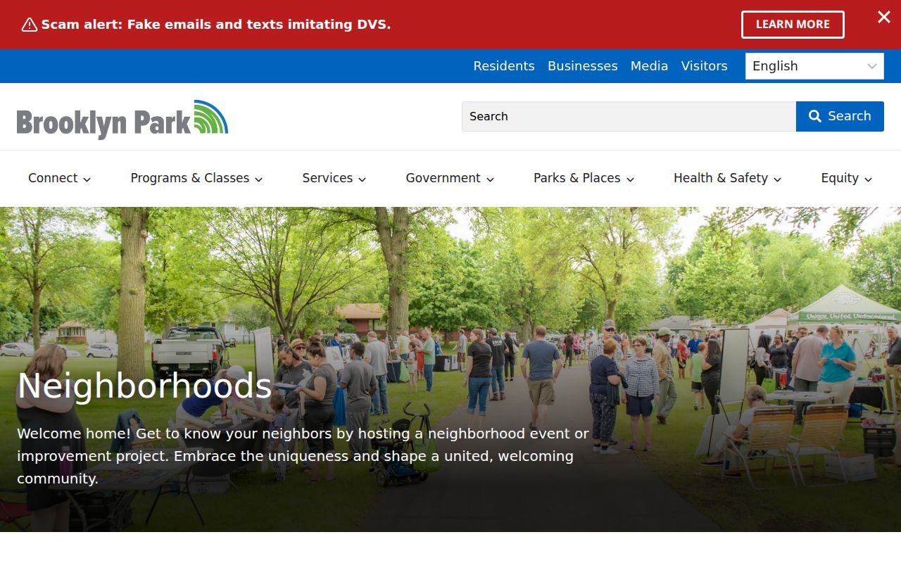
Neighborhood names are useful local context, yet they are not legal parcel lines or resident lists. School, precinct, watershed, city, and delivery boundaries can each cut across the same postal area in a different way.
Brooklyn Park 55316 ZIP Question
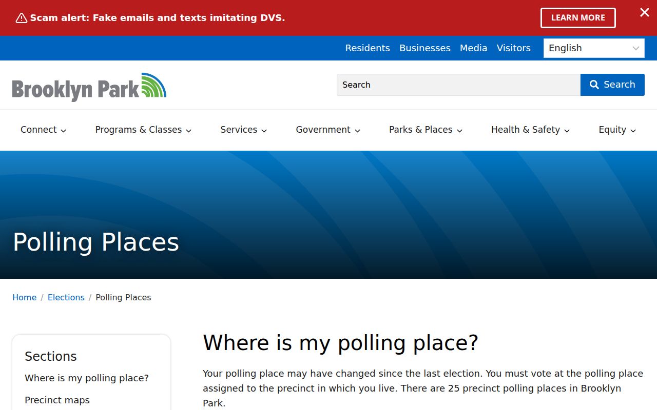
The city polling-place page shows an East 9 polling-place address at 7708 62nd Ave N labeled Brooklyn Park, 55316. Minnesota's official city-and-ZIP list does not include 55316 among Brooklyn Park's five verified ZIP codes. Treat it as a polling-site or boundary clue, not as a sixth residential ZIP for the city. Confirm the exact street address through USPS, then use PINS and GIS to check municipal parcel jurisdiction.
Brooklyn Park polling-place information is the source for this local anomaly and the image below.
The distinction matters because polling places describe election geography, while USPS describes delivery and county property systems describe parcels. One label cannot substitute for the other two.
Brooklyn Park ZIP Boundaries
A ZIP code is a USPS delivery code, not a city-limit polygon, title boundary, or resident list. In Brooklyn Park, the postal city can differ from the municipality and one ZIP can touch nearby cities. For historical address research, the PID and legal description are more durable bridges than a ZIP alone. No verified local ZIP split or realignment year was located in the inspected sources, so older mailing labels need document-by-document checking.
- ZIP versus ZIP+4
- A ZIP identifies a delivery area; ZIP+4 adds a smaller delivery segment for more precise sorting.
- PO-box ZIP
- A postal code assigned for post-office box delivery, which should not be assumed to describe a physical parcel.
- Unique ZIP
- A ZIP assigned to a single institution or high-volume recipient rather than a broad neighborhood.
- Carrier route
- A delivery route used by USPS, distinct from municipal and property boundaries.
Use the full address and the right custodian. USPS verifies delivery, Hennepin County verifies parcel information, and city tools describe local services or election geography. Those channels are complementary rather than interchangeable.
Address check. A Brooklyn Park postal result can use Minneapolis as its city label. Confirm the situs and PID before making a claim about municipal location.