
Brooklyn Park Street Directory by Address
A useful Brooklyn Park street search begins with the physical parcel, called its situs. Hennepin County Property Information Search accepts an address, a 13-digit parcel ID, or an addition with lot and block. It returns current parcel facts, rather than a household list. From that first result, the PID and legal description connect the address to map polygons and recorded instruments. A voter confirmation, where authorized, can test a known person at a known address. Historical reverse directories may offer an older occupant clue, but they are not a current resident roll.
- Enter the house number and street name in PINS. Save the PID, situs address, owner or taxpayer label, legal description, and addition, lot, and block details.
- Open the Hennepin County Property Map, locate the parcel, and click nearby polygons when a street segment needs comparison.
- Use the PID and legal description in the deed research path. A deed chain identifies recorded parties and conveyances, not every person at an address.
- For a known individual, use Minnesota's voter lookup with the required name, full birth date, and full address route. It is not a free-form street roster.
- Check reverse or criss-cross directories for an older address-to-name clue, then compare the date and address before drawing a conclusion.
That order keeps records in their proper roles. It also makes a failed address search easier to diagnose: a directional suffix, unit, parcel number, or legal description may be the missing piece.
Brooklyn Park PINS Street Search
For a modern Brooklyn Park address, PINS has three routes: address, PID, and addition with lot and block. The address route requires a house number and street name, permits an optional unit, and offers a records-per-page choice. Hennepin asks for at least three street-name characters, places a direction at the end, and recognizes common street abbreviations. Its public screen did not show owner-name or ZIP-wide search fields. Owner and taxpayer information appears with a parcel result and can be followed through legal-description or staff channels.
| PINS field | Entry rule | Street-directory use |
|---|---|---|
| House number | Required in address mode | Anchors a single Brooklyn Park situs address. |
| Street name | At least three characters; direction goes at the end | Finds the matching street spelling and direction. |
| Unit | Optional | Separates a unit from the larger parcel when the record supports it. |
| PID | All 13 digits; dashes or spaces accepted | Provides a stable parcel bridge. |
| Addition, lot, block | Addition required in that mode; lot and block optional | Links plats and legal descriptions to an address. |
The county property-search guide shown below is the source for the PINS route and its property-information context.
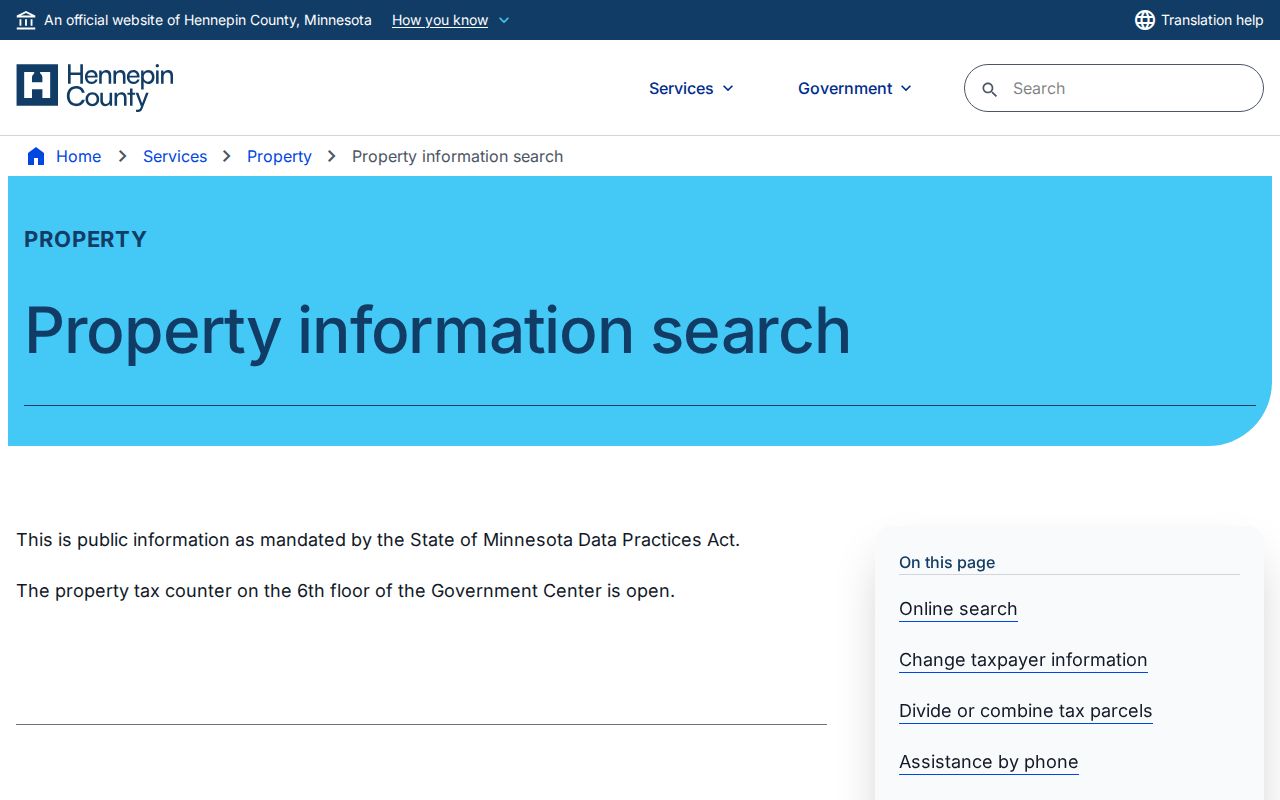
Once PINS returns a record, compare the labeled parcel, taxpayer, and mailing fields instead of treating them as one address. The county updates its property database daily at about 9:15 p.m. Central, but that update schedule does not make a taxpayer address an occupancy statement. The property counter at A-600, 300 S 6th St, Minneapolis, is a staff channel at 612-348-3011 or taxinfo@hennepin.us when the public screen is not enough.
Brooklyn Park Parcel Map Walk
The county property map is the street-by-street bridge. Pan to a Brooklyn Park road, click a parcel polygon, note the PID and property link, and repeat along the block. The map is especially useful where a corner lot, cul-de-sac, condominium parcel, large tract, or right-of-way makes a simple run of street numbers misleading. Its parcel geometry and imagery provide context; the assessed parcel record remains the source for owner, taxpayer, value, and legal-description fields.
A Hennepin County surveyor and land-map resource supplies the accompanying image and points to the county's map, parcel-graphic, survey, and custom-map information.
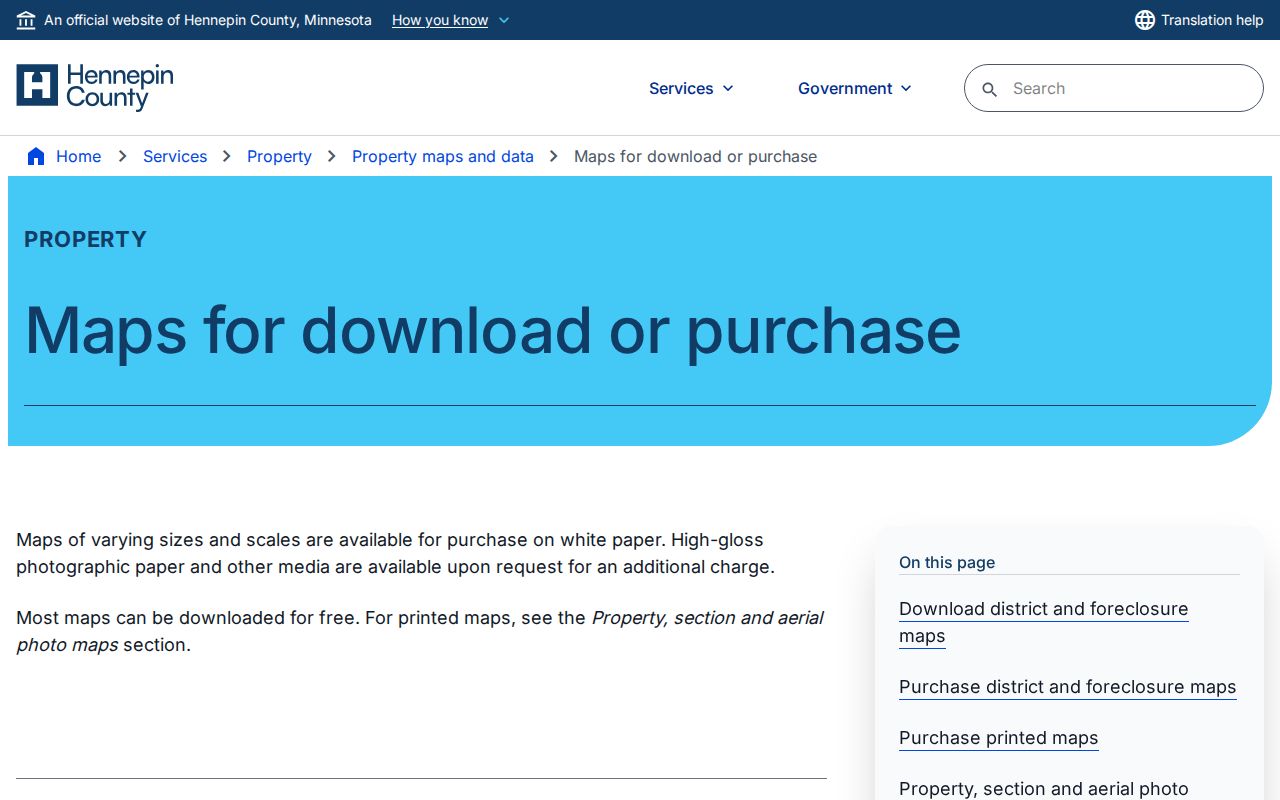
Keep each parcel separate in the notes. A polygon can cover more than one unit, and a visible adjacent property is not always a separate residence. The map is a general-reference viewer, not a legal survey.
Brooklyn Park Street Record Layers
Address records in Brooklyn Park do not answer the same question. PINS supplies a current parcel view. GIS shows the parcel's relationship to the street. The Recorder/Registrar documents the transaction trail. City portals add work or code-case context. Minnesota voter records have a much narrower confirmation and request path. Keeping those layers apart prevents a public owner field, a mailing field, or a past directory entry from being overstated.
| Address-keyed source | Custodian | What the record can show | Access channel |
|---|---|---|---|
| PINS property record | Hennepin County | PID, situs, owner or taxpayer fields, mailing address, legal description, sales, tax and value data | Free address, PID, or addition search; tax counter support |
| Property map | Hennepin County GIS | Parcel geometry, PID links, map context, and adjacent parcels | Free public map viewer |
| Recorded-document index | Recorder / Registrar of Titles | Grantor, grantee, document type and number, recording date, and legal-description trail | Free limited RecordEASE index; Pro images or Research Center kiosk |
| Permit history | Brooklyn Park | Service address, permit type and number, work and inspection history | Public eSuite address search; city counter or request for older material |
| Code-case map | Brooklyn Park | Recent active or closed environmental-health case context by address or case number | Public city map; request channel for data access |
| Voter information | Minnesota Secretary of State / Hennepin Elections | Known-registration confirmation or permitted public-list fields | Exact lookup or certified request under state restrictions |
The parcel ID is the best connector in that group. Street names and postal labels can vary, while the PID, addition, lot, block, and legal description give a more durable way to compare a deed, map, permit, and property result.
Brooklyn Park Address Labels
Property research works better when each label is read literally. A Brooklyn Park parcel can carry a physical address, a taxpayer mailing address, a legal description, and a PID at the same time. A mailing address may belong to an owner, trust, company, or representative and is not evidence that the addressee occupies the site. Likewise, a homestead classification can be a useful property clue but does not identify all people who live there.
- Parcel
- A defined piece of land in the county's property system, usually connected to a PID and legal description.
- Situs address
- The physical street location used by property, map, permit, and code records.
- Plat
- A recorded map that can show an addition, lot, block, and boundary context.
- Criss-cross directory
- A historical directory arranged by address so an older address can lead to a listed name.
Those definitions also explain why a street directory should not collapse land ownership, mail delivery, voter registration, and current occupancy into a single claim.
Brooklyn Park Deed Street Records
The Hennepin County real-estate document research service directs researchers from a current property record to RecordEASE. The limited public index is free. RecordEASE Pro lists document images, certificates, and plats at $2.50 per item. Start with the legal description or an owner or entity name, then read each grantor and grantee relationship in context. The recent online recording history reaches roughly five years and is not a complete chain of title.
For an older or unavailable transaction, the documented fallback is the Hennepin Research Center at 300 S 6th St, Skyway room SK-0353, Minneapolis, open Monday through Friday from 8:00 a.m. to 4:30 p.m. The center offers public self-service research and kiosks. Staff support is listed at 612-348-5139 and recordsrequest@hennepin.us. Mail or email copy requests remain an option when a nonstandard or certified item is needed. The county does not publish a verified earliest online index year, so do not assume a missing online hit means no record exists.
In the index, grantor means the party transferring an interest and grantee means the receiving party. Follow the legal description as well as the name because one person can hold several parcels and a street number can change.
Note: RecordEASE's limited public index and recent-history view are useful starting points, but the kiosk and written-request routes remain essential for older deed research.
Brooklyn Park Street Permit History
Brooklyn Park eSuite permit history searches by permit type, permit number, or service address. The service-address field uses autocomplete and asks the user to type and select the complete address. A result may help date construction, additions, roof, siding, window, mechanical, demolition, moving, fire or hood work, and inspections. It documents property activity, not who lived at the address or whether an applicant or contractor was an owner.
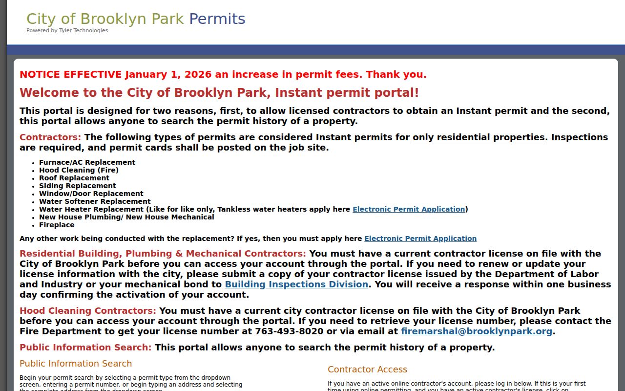
The city publishes monthly permit reports, including 2025 reports, but the inspected pages do not state the first digitized permit year or a ZIP-wide export. When a past permit card matters, ask the city for the specific address record rather than inferring a date from a blank portal result.
Brooklyn Park Street Code Cases
Brooklyn Park's city-code and environmental-health page provides a public layer for recent active and closed cases, searched by property address or case number. It can show municipal case context that a deed or parcel card will not show. The city also provides a data request form and an access policy for records not available through the public map.
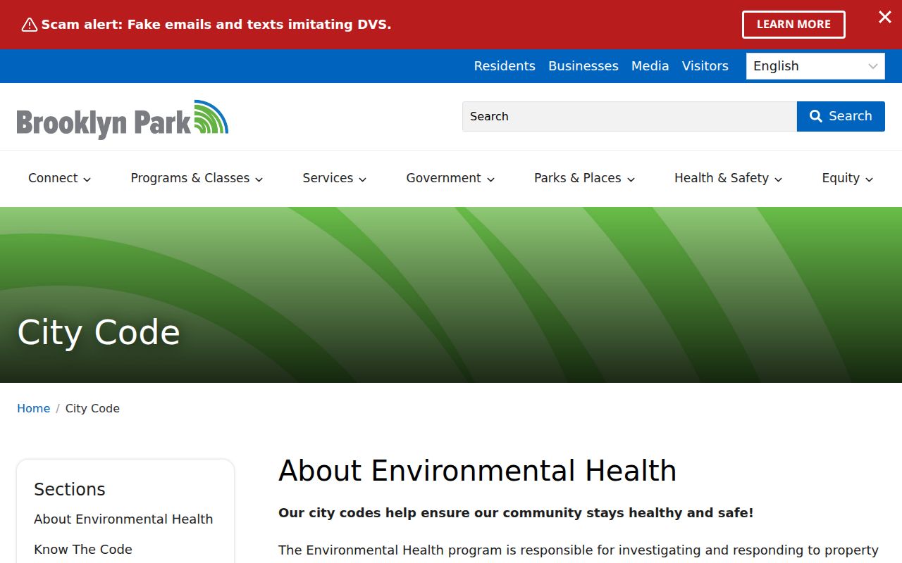
Case information should be read narrowly. A record describes a city process at an address, not the identity or conduct of every person associated with that location.
Brooklyn Park Street Number Rules
Brooklyn Park Code §151.071 explains why exact directions and units matter in a street directory search. East-west avenues use even numbers north and odd numbers south. North-south avenues use even numbers east and odd numbers west. A road that deviates more than 45 degrees can follow its dominant direction for sequence purposes. Courts follow avenue numbering, while circles and dead ends have their own treatment.
Multifamily structures use a structure number plus a unit, while one-family and duplex properties generally use the principal entrance. Corner lots and split lots also have their own rules. No verified citywide renumbering year was located in the inspected sources. For an old address that will not match a modern result, use the PID and legal description with plats, historical directories, deed records, and municipal-boundary history rather than guessing that a different number marks a different parcel.
Brooklyn Park Historical Street Clues
Historical reverse directories turn an address into a dated name clue. Hennepin County Library and a companion Minnesota archive collection describe combined Hennepin-area directory material from 1859 through 1983, with HCLIB's guide identifying 1859 through 1922 as digitized and later material as print or microfiche. The exact Brooklyn Park year run has not been verified, so a missing entry should never be treated as proof that no household was there.
Entries may use initials, spouse-in-parentheses, owner or roomer marks, occupation labels, and abbreviations. Compare the stated year, street spelling, and municipal label before linking a name to a parcel. The historical volumes are described more fully on the Brooklyn Park city directory page.
Brooklyn Township was formed in 1852, two tiers were detached in 1860 to form Brooklyn Center and Crystal Lake, and Brooklyn Park became a village in 1954. Earlier materials can therefore use township, village, postal, or neighboring-city labels that differ from a current street record.
Brooklyn Park Voter Street Limits
Minnesota's voter registration lookup is designed to confirm a known registration. It requires first name, last name, full date of birth, a ZIP or county route, city or township, house number, and selected street. A unit is required when the user indicates one. The lookup updates nightly, but a registration or change can take up to 14 days to process. It does not produce a list of people living along a Brooklyn Park street.
Minn. Stat. §201.091 makes specified voter information available in defined circumstances, but a registered Minnesota voter requesting it must provide identification and written certification of permitted use. The law bars publishing the list online as a searchable database and limits unrelated use. Hennepin Elections is the fallback for list-maintenance questions and requests at 612-348-5151 or hc.vote@hennepin.us. Protected voters and Safe at Home participants must not be located through public-record triangulation.
Brooklyn Park Street Directory Limits
A Brooklyn Park street directory can document parcels, recorded parties, work at an address, and dated directory clues. It cannot reliably identify every current household member. Renters, unregistered adults, utility customers, delivery recipients, protected voters, and confidential records are not ordinary public street records. DMV address information is restricted under federal and Minnesota law. A property owner may also live somewhere else.
Lawful use. Use Brooklyn Park address records for lawful personal research, family history, estate questions, or civic curiosity. Never use a record to stalk, harass, intimidate, or harm anyone.
The Minnesota Government Data Practices Act presumes government data are public unless another law closes them, but the classification of a particular record still controls. Inspect records carefully, preserve their labels, and use the custodian's request channel when the online tool does not provide the needed document.